Wingtra
Collect quality, survey-grade data 80% faster!
The WingtraOne VTOL - Vertical take-off and landing - is not a choice, it's the only option.
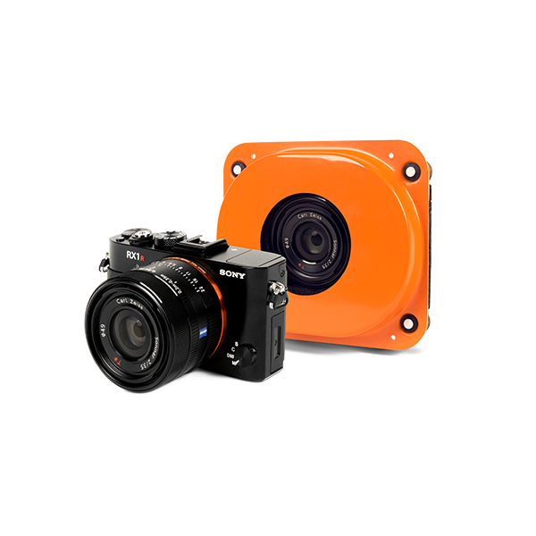
HIGH-END COMPACT CAMERA OPTIONS
With the full-frame 42 MP camera from Sony and the integrated GNSS PPK receiver, you can reach data quality previously only possible with ground-based survey equipment.

HIGH QUALITY PHOTOGRAMMETRY DATA
For most missions, 3D results achievable with photogrammetry are similar to those obtained with LIDAR, but with better accuracy and greater versatility, e.g., photorealistic outputs, thanks to the high-resolution visual data.

READY TO FLY EVERYWHERE SAFELY - IN FIVE MINUTES
Fully autonomous, this VTOL drone can take off in less than 5 minutes, including set up and pre-flight checks. Pause and resume your mission as needed, and fully manage your flight on the user-friendly tablet.

Large surveying areas, difficult or steep terrain, great altitude differences, harsh weather conditions or the absence of flat surfaces required for take-off and landing: the WingtraOne mapping drone can overcome all these challenges of surveying mid- and large-scale projects.
Take off and land vertically (VTOL) Eliminate dangerous belly landings, hand launches and catapults. Unlike other fixed-wing drones, the WingtraOne takes off and lands smoothly in confined areas, on gravel, between tree stands or in mountainous areas.
42 Megapixels / 0.7 cm (0.3 in) GSD With its full-frame 42 MP Sony camera, the WingtraOne can fly at high altitudes while still providing low GSD images. This guarantees that large areas can be surveyed faster with high accuracy. Higher resolution also yields better orthomosaic map reconstruction.
Down to 1 cm (0.4 in) absolute accuracy Using the PPK option, it is possible to reach down to 1 cm (0.4 in) absolute accuracy, previously only feasible with ground-based survey equipment. This requires optimal conditions, flight above hard surfaces and the use of well-marked, highly-visible, manually-measured checkpoints and a well-established based station.
The Vertical Take-Off and Landing (VTOL) capability allows the WingtraOne to ascend and move like a helicopter, while for the mapping mission it transitions into forward cruise flight and matches the endurance and speed of fixed-wing airplanes.
In order to land, the WingtraOne switches back to hover flight and descends vertically.

WingtraOne
The most advanced VTOL drone for mapping and surveying